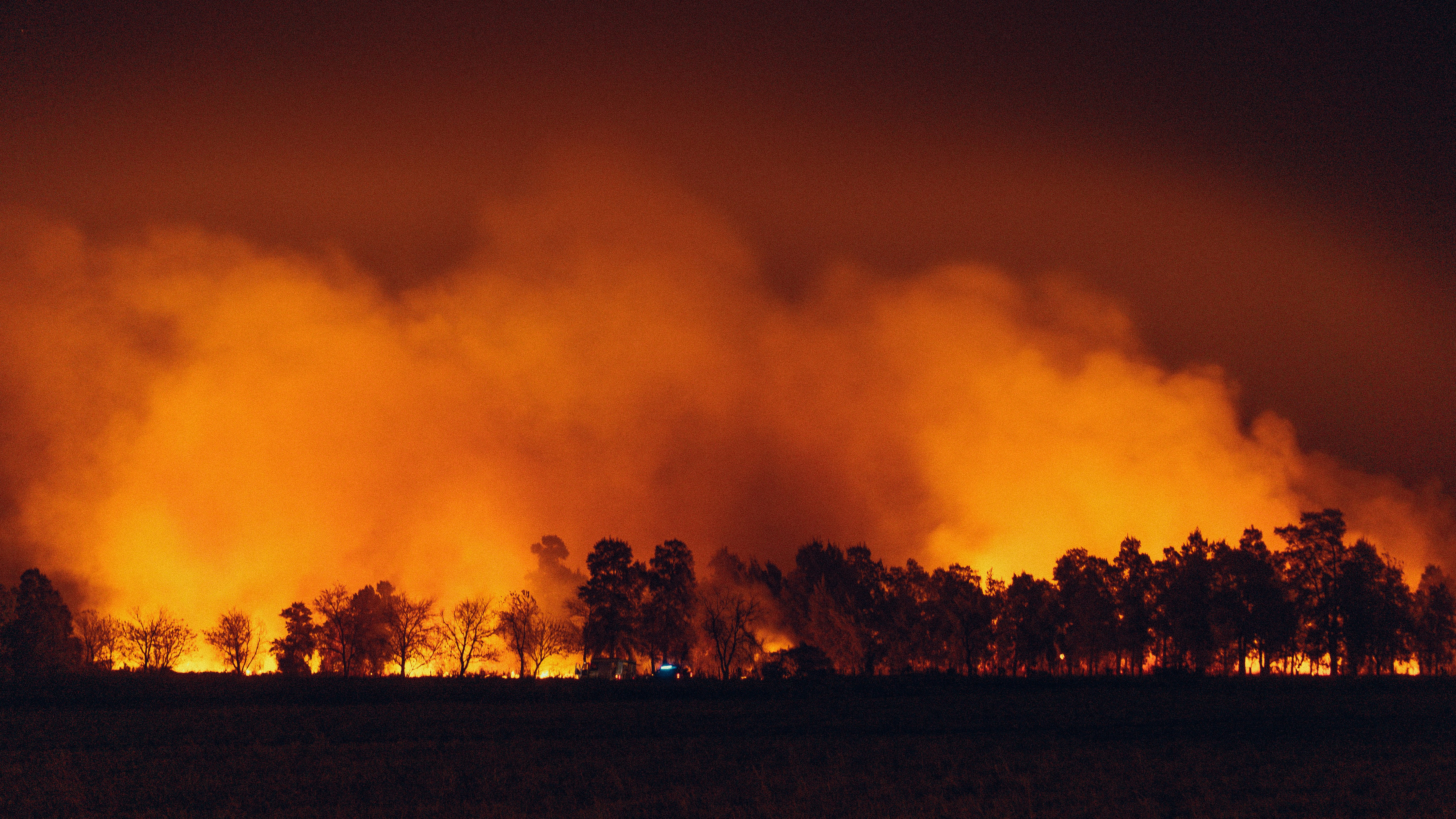
Understanding the Critical Fire Weather Threat
A vigorous cold front is set to move southward from the central Rockies into the southern plains today and tonight. This weather change will spark critical to extreme fire-weather conditions across several states, particularly eastern Arizona, New Mexico, and western Texas. With sustained southwest winds of 25–35 mph and relative humidity plummeting to below 15%, the atmosphere becomes highly conducive to wildfires.
Red Flag Warnings in Effect
Over 8 million residents are currently under red flag warnings due to moisture-deprived fuels and windy conditions. Any spark in these tinder-dry areas could quickly escalate into rapidly spreading wildfires. Residents are advised to refrain from outdoor burning activities and ensure that loose objects, which can become projectiles in high winds, are secured.
Approaching Severe Storms Thursday Night
As the cold front progresses, it will also ignite severe thunderstorms by Thursday evening. The storms are anticipated to move from eastern Nebraska into the upper Mississippi Valley and Great Lakes region, reaching their peak intensity after sunset. Residents in these areas should prepare for the possibility of large hail—up to softball size—and wind gusts between 50-60 mph. Isolated tornadoes could also occur, and it is crucial for everyone to monitor local alerts and the NOAA weather radio for updates.